Map-first road trip planning
RoadPlan Studio turns multi-day drives into honest itineraries — distances, daylight, overnight towns and tripmate permissions in one canvas. Plan as a guest, then save to the cloud when the route feels real.
Blog
Pacing, packing, borders and collaboration — field notes for people who plan trips on maps.

How-to · 6 min
Templates are spines, not scripts. Here is how to remix without unraveling the route.

Product · 5 min
Spreadsheets count hours. Maps show whether those hours are humane.

International · 9 min
Borders are itinerary objects. Treat them like attractions with paperwork attached.
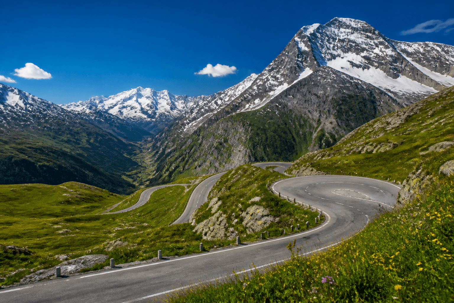
Seasons · 10 min
Peak summer is optional. These shoulder windows keep roads open and lodging sane.
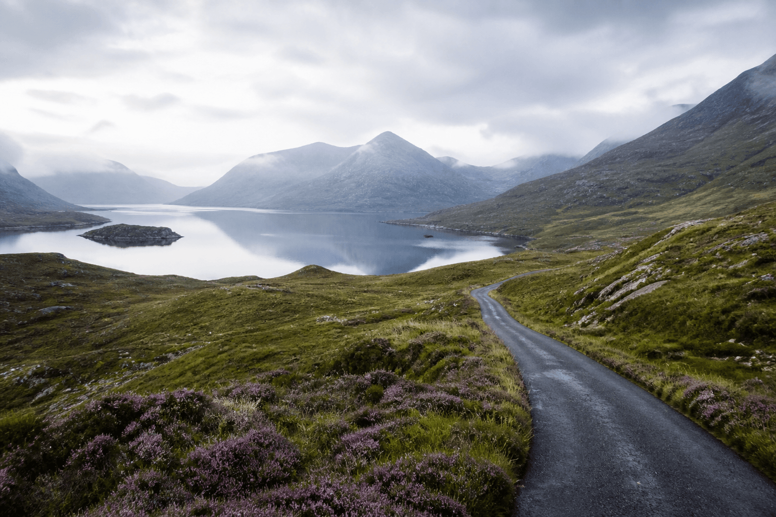
Driving · 9 min
Roundabouts, passenger-side instincts and quiet first hours — a calm briefing before you leave the rental lot.

Collaboration · 6 min
Editors and viewers exist for a reason. Structure the collaboration before you argue about lunch stops.
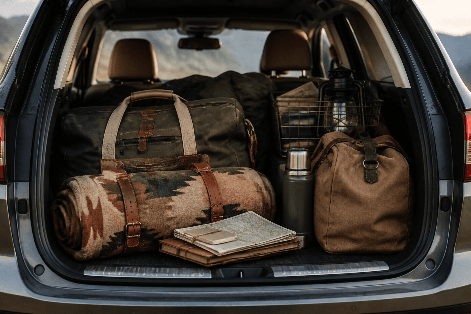
Gear · 7 min
Soft duffels beat hard cases. Here is the cross-border kit we recommend before you collect the rental.

Planning · 8 min
Most failed road trips fail on day three. Here is how to design pace before you lock the hotels.
Discover
Browse continents, then open a template built for local driving rules, seasons and overnight geometry.
RoadPlan Studio turns multi-day drives into honest itineraries — distances, daylight, overnight towns and tripmate permissions in one canvas. Plan as a guest, then save to the cloud when the route feels real.
Remix templates for Western Canada, Iceland’s Ring Road, the European Alps, Hokkaido autumn loops, New Zealand’s South Island, Patagonia, Scotland and more — with local season and driving-side context.
Reorder stops, keep lodging anchors stable, and share viewer or editor access with tripmates. Pair Discover templates with destination guides and field notes from the blog before you collect the rental.
Discover trips